LiDAR Mapping
LiDAR, which stands for Light Detection and Ranging, is a remote sensing method that uses light in the form of a pulsed laser to measure distances to the subject.
These light pulse measurements combined with positional, motion, heading and precise timing generate accurate, high resolution three-dimensional information on the landscape.
We own and operate UAV mounted LiDAR and mobile LiDAR mapping systems from vehicles and boats.
Our LiDAR systems are integrated with high-end Applanix inertial (INS) navigation systems.
To increase data accuracy, RINEX PPK files are recorded and post-processed within Applanix POSPac software to solve GNSS ambiguities, position and orientation of the survey vessel/UAV. These processed SBET files are then referenced with the laser sensor to produce very accurate spatial data-sets.
Our LiDAR systems are used to collect high density data-sets in a single pass much faster and more cost effective than traditional survey techniques. The LiDAR system can collect 300,000 points per second flying at an altitude of around 40m at a speed of 15km/hr.
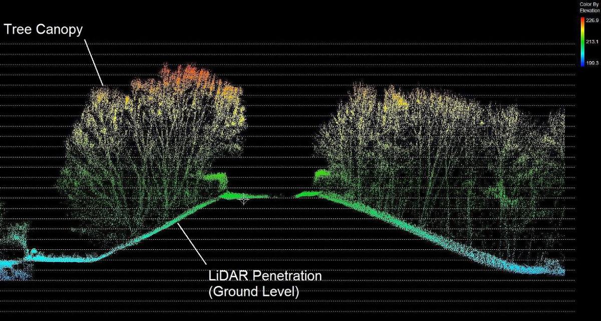
LiDAR technology has the capability to penetrate tree canopies and vegetation to accurately map the ground beneath.
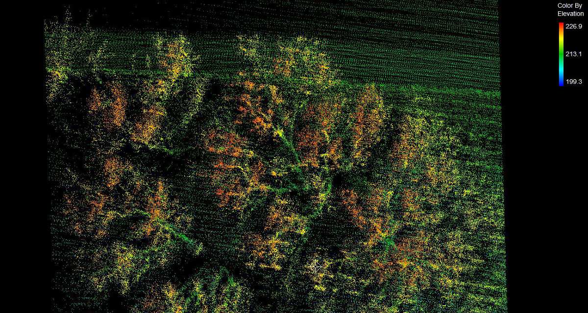
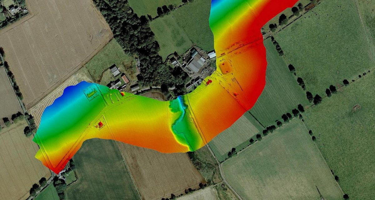
LiDAR data extract used for flood mapping works.
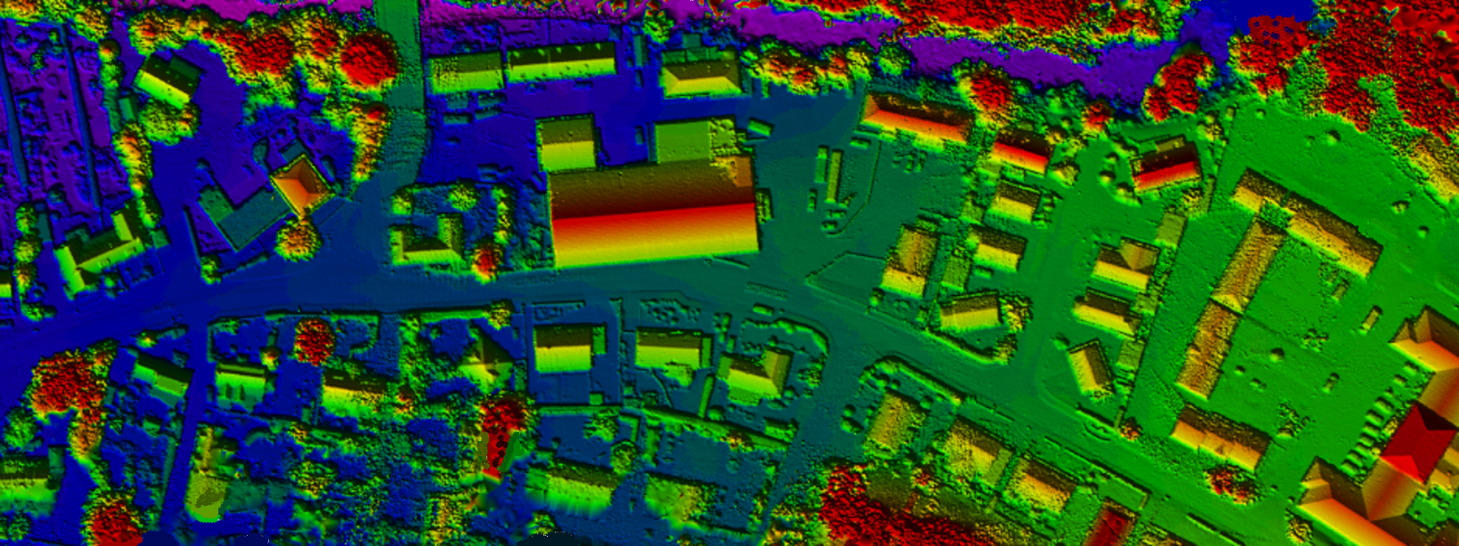
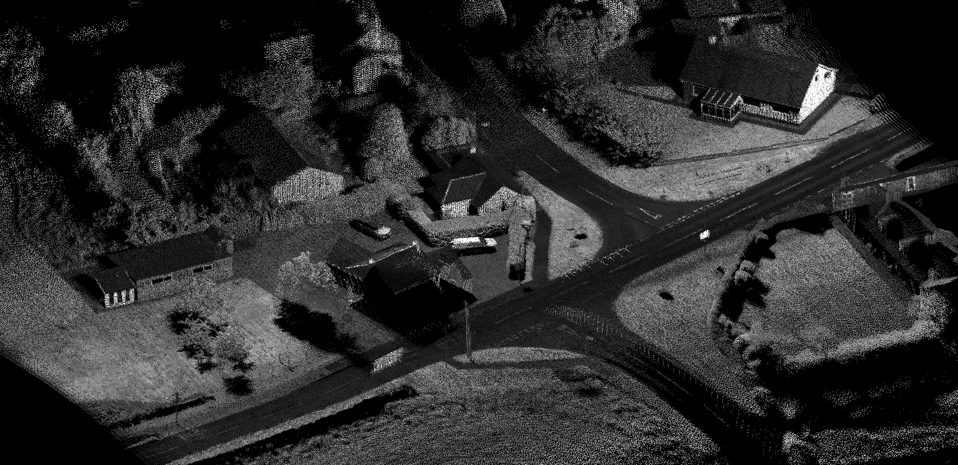
UAV LiDAR data intensity dataset.