UAV Surveys
Remotely Piloted Aerial Systems (RPAS) are being used more extensively across a range of disciplines, including the field of surveying.
The UAV Surveys Aircraft are commonly referred to as Drones, Unmanned Aerial Vehicles (UAVs) or Remotely Piloted Aircraft (RPA) with the combination of operating equipment (including the aircraft, the control station and the data link) referred to as either Unmanned Aerial/Aircraft System (UAS) or Remotely Piloted Aerial Systems (RPAS).
For us, the UAV is an addition to our existing portfolio of equipment used to provide survey information to clients and we are incorporating this technology into our established professional services.
As Chartered Surveyors, the outputs we can achieve are highly accurate, reliable and repeatable and can be coupled with traditional survey techniques.
This allows us to use the technology as a tool to enhance our deliverables, whilst maintaining the accuracies required of a professional survey for engineering design purposes.
There are many companies who would promote the use of UAV surveys and the ability to operate a drone commercially as the ability to undertake topographic surveys at a reduced cost but this is not the case. Such approaches are likely to result in an unreliable survey output which, at best, would be unfit for purpose and full of distortion and, at worst, may be disastrous !
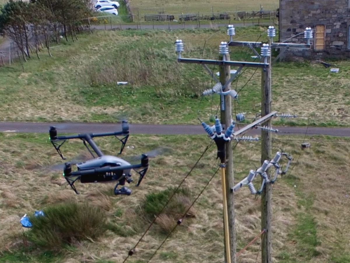


The Civil Aviation Authority, in exercise of its powers under the Air Navigation Order 2016, has permitted Aspect Land and Hydrographic Surveys Limited to conduct commercial operations using multirotor and fixed wing UAVs not exceeding 7kg, at a height not exceeding 400ft above ground level and at a distance beyond the visual line of sight of the person in charge of the aircraft to a maximum range of 500m.
We have a number of fully qualified pilots who have all undertaken and passed the technical and practical assessments required by the CAA to allow them to operate our multi-rotor and fixed wing UAVs commercially. Part of this process involves the formulation of an Operations Manual, approved by the authority, which defines the procedures and processes which must be adhered to at all times to ensure safety and legal compliance with aircraft legislation.
For every project, risks are assessed by reference to various sources (e.g. H&S, Notams & weather forecasts etc) and no flying operations take place unless it is completely safe to do so.