
Seabed Sampling & Vibrocores Surveys
OUR GEOPHYSICAL SURVEY SERVICES INCLUDE A RANGE OF TECHNIQUES TO RECOVER SAMPLE MATERIAL FROM THE SEABED AND UNDERLYING SUB-STRATA FOR TESTING AND ANALYTICAL PURPOSES.
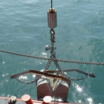
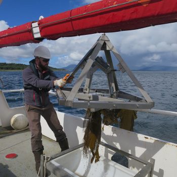
These include both cores and surface grabs, using a range of equipment and methodologies appropriate to the site conditions.
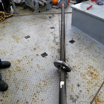
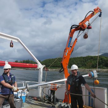
Vibrocoring, a technique for collecting core samples of the seabed sub-strata sediments, consists of a vibrating mechanism attached to a metallic core which is driven into the sediment by the force of gravity, enhanced by vibration energy.
The vibrocore apparatus is generally a lightweight rig and as such does not rely on overall mass as an additional means of penetration.
Vibrocores are most effective in unconsolidated, waterlogged sediments and soils, with sandy and silty sediments of mixed grain size easiest to core. Vibrocores are less effective for relatively dry soils such as clay, compacted sand or any consolidated materials. Given that the seabed sub-strata composition at site is unknown, core retrieval depths can vary.
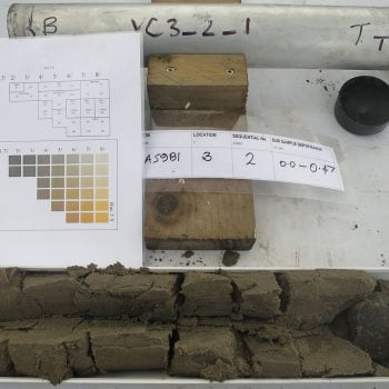
Once the core tube has fully penetrated the sediment and the vibration source is turned off, the core is withdrawn without losing the sample. On retrieval of the cores, they are sub-sampled into sections – Top, Middle & Bottom, and are then photographed and logged before being despatched to an accredited laboratory.
The sample material is despatched to a UKAS accredited laboratory for analysis against an agreed set of criteria, e.g. Marine Scotland Revised Action Level 1 and on receipt of the laboratory findings a review of the data is undertaken and a factual report generated detailing the results and findings.
Sampling works are usually undertaken in anticipation of a dredging campaign, whereby the client is required to obtain a license to facilitate the removal of material from a site with disposal either in a recognised landfill site or seaward disposal area.
Often two magnetometer sensors are mounted in a gradiometer format, which measures the magnetic gradient between two sensors arranged on a horizontal separation, normally 1m or 2m apart. Readings can be automatically logged allowing large amounts of data to be recorded and stored quite rapidly.
Post-processing is undertaken within proprietary software that allows data to be checked & verified and processed in profile form. The software reliably converts high volumes of magnetic data into modelled grids and provides target locations, depths, size and apparent weight calculations.
Surveys can be used specifically for object detection or alternatively for wide area geological analysis in order to assist in the interpretation of sub-seabed structure and morphology. Deliverables include written reports with data exported
in industry-standard formats such as AutoCAD, ASCII, PDF & XYZ files.